Upper Mustang Trek
Across a high desert to the walled city of Lo Manthang.
- Duration
- 12 days
- Max altitude
- 4,200 m
- Distance
- 120 km
- Best season
- March–November (trekkable in monsoon)
- Starts
- Jomsom / Kagbeni
- Ends
- Jomsom
Overview
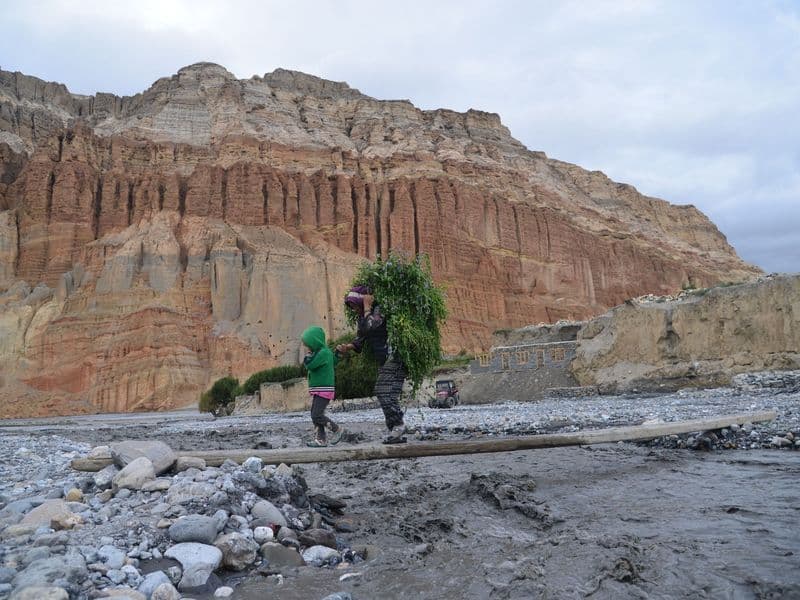
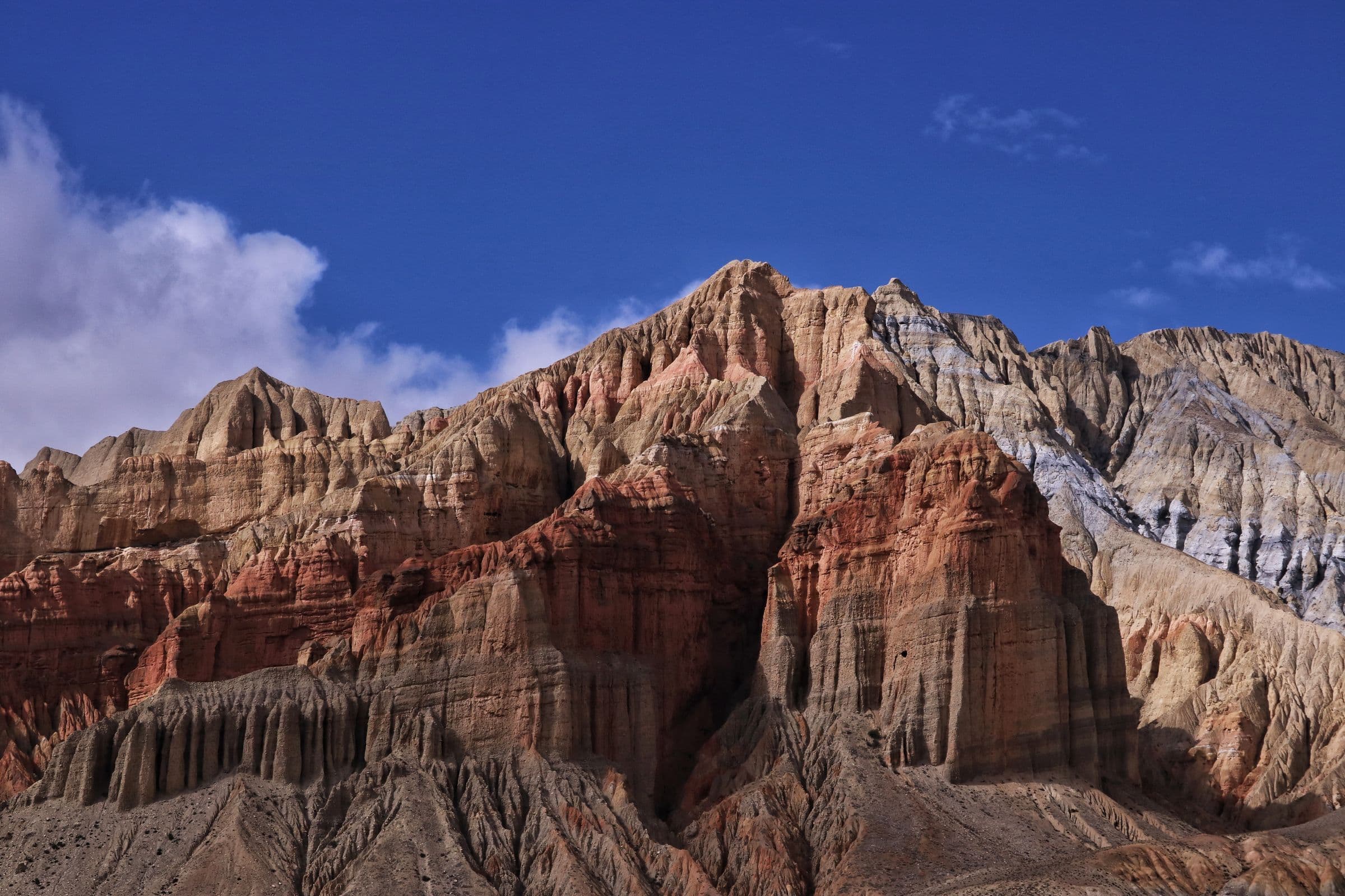
Beyond Kagbeni the Kali Gandaki valley becomes a canyon of eroded cliffs, sky caves and whitewashed villages. The trail climbs gently over passes between 3,500 and 4,200 m to Lo Manthang, the walled capital of the former Kingdom of Lo, whose monasteries hold some of the finest Tibetan Buddhist art in Nepal.
Upper Mustang is a restricted area: permits are issued only to groups travelling with a registered agency and guide, and the minimum permit period is ten days.
- Kagbeni
- Chele canyon
- Ghami mani wall
- Lo Manthang
- Chhoser sky caves
Plan this trek
Day-by-day itinerary
Sleeping altitude goes from 2,800 m on day 1 to a high of 3,840 m on day 6, ending at 2,720 m on day 11.
- 1
Fly Pokhara to Jomsom, trek to Kagbeni
Walk the riverbed before the wind.
Sleep at 2,800 m
- 2
Kagbeni to Chele
Enter the restricted area.
Sleep at 3,050 m
- 3
Chele to Syangboche
Two passes and the Chele canyon.
Sleep at 3,800 m
- 4
Syangboche to Ghami
Via Nyi La, the highest point of the trek.
Sleep at 3,520 m
- 5
Ghami to Tsarang
Past the longest mani wall in Mustang.
Sleep at 3,560 m
- 6
Tsarang to Lo Manthang
First view of the walled city from Lo La.
Sleep at 3,840 m
- 7
Explore Lo Manthang
Monasteries, palace and the Chhoser caves.
Sleep at 3,840 m
- 8
Lo Manthang to Dhakmar
Western route via Ghar Gompa.
Sleep at 3,820 m
- 9
Dhakmar to Samar
Long day across the ridges.
Sleep at 3,660 m
- 10
Samar to Kagbeni
Descend out of the restricted area.
Sleep at 2,800 m
- 11
Kagbeni to Jomsom
Sleep at 2,720 m
- 12
Fly to Pokhara
Permits
Permit rules and fees change. We link the official source for each and show when it was last checked.
Restricted Area Permit (Upper Mustang)
Issued by the Department of Immigration through a registered trekking agency; USD 500 for the first ten days plus USD 50 per additional day (mid-2026), minimum two trekkers with a licensed guide.
Annapurna Conservation Area Permit (ACAP)
Required in addition; NPR 3,000 (mid-2026).
Safety and altitude
Altitude sickness is the main risk on any trek above 2,500 m. Ascend slowly, sleep no more than 300–500 m higher each night above 3,000 m, drink plenty, and descend immediately if symptoms worsen. Headache, nausea and loss of appetite are early warnings; confusion or breathlessness at rest are emergencies.
Carry travel insurance that explicitly covers trekking to your maximum altitude and helicopter evacuation. Weather can close trails and airports for days; keep buffer days and cash.
Packing list
Essentials are marked; the rest is optional.
- Broken-in trekking boots (essential)
- Four-season sleeping bag (lodge blankets are limited) (essential)
- Down jacket (essential)
- Waterproof shell (essential)
- Sun hat, sunglasses, high-SPF sunscreen (essential)
- Water purification tablets or filter (essential)
- Head torch (essential)
- Basic first-aid kit incl. blister care (essential)
- Trekking poles (optional)
- Power bank (optional)
- Buff or scarf for dust and wind (essential)